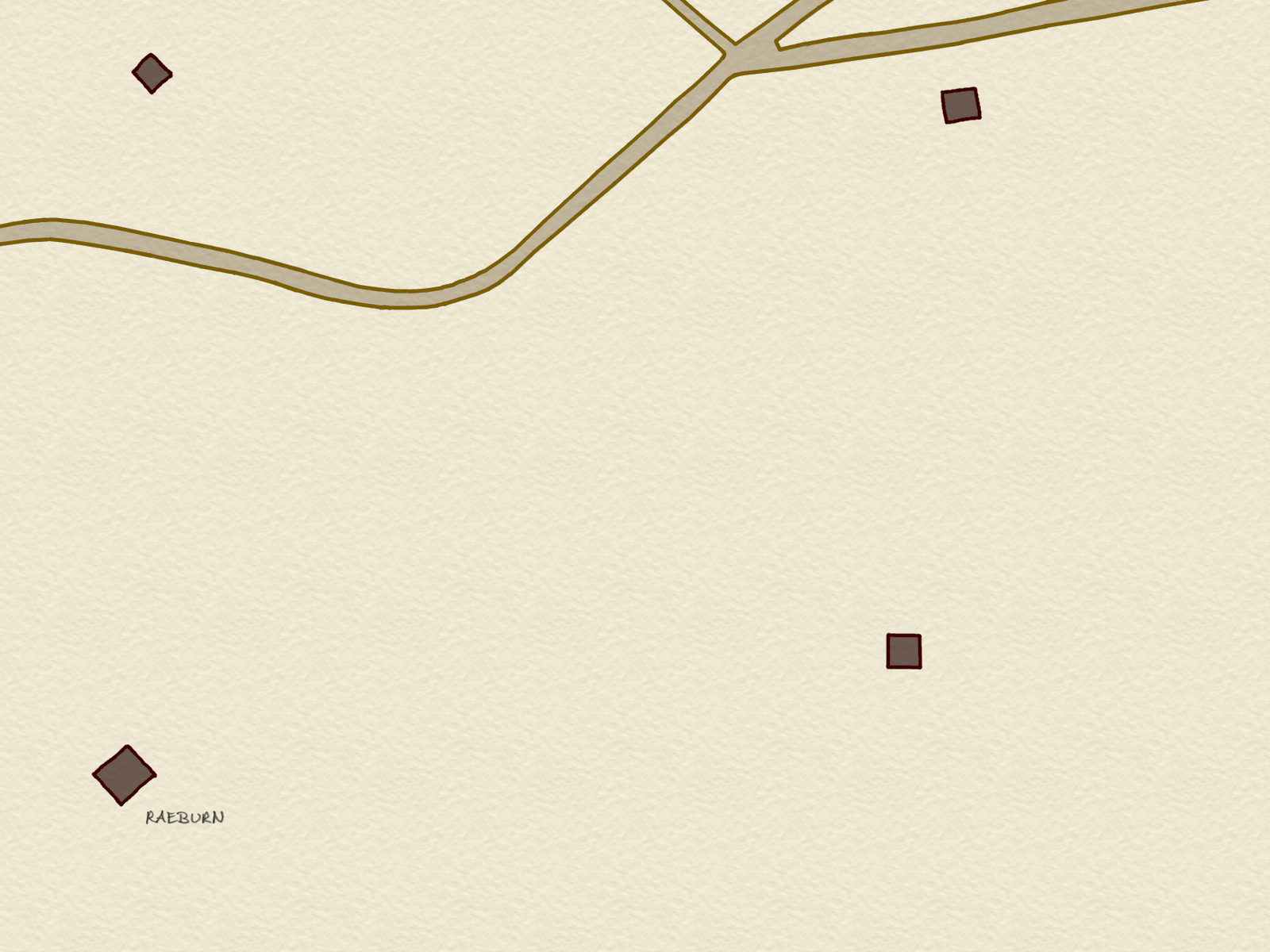
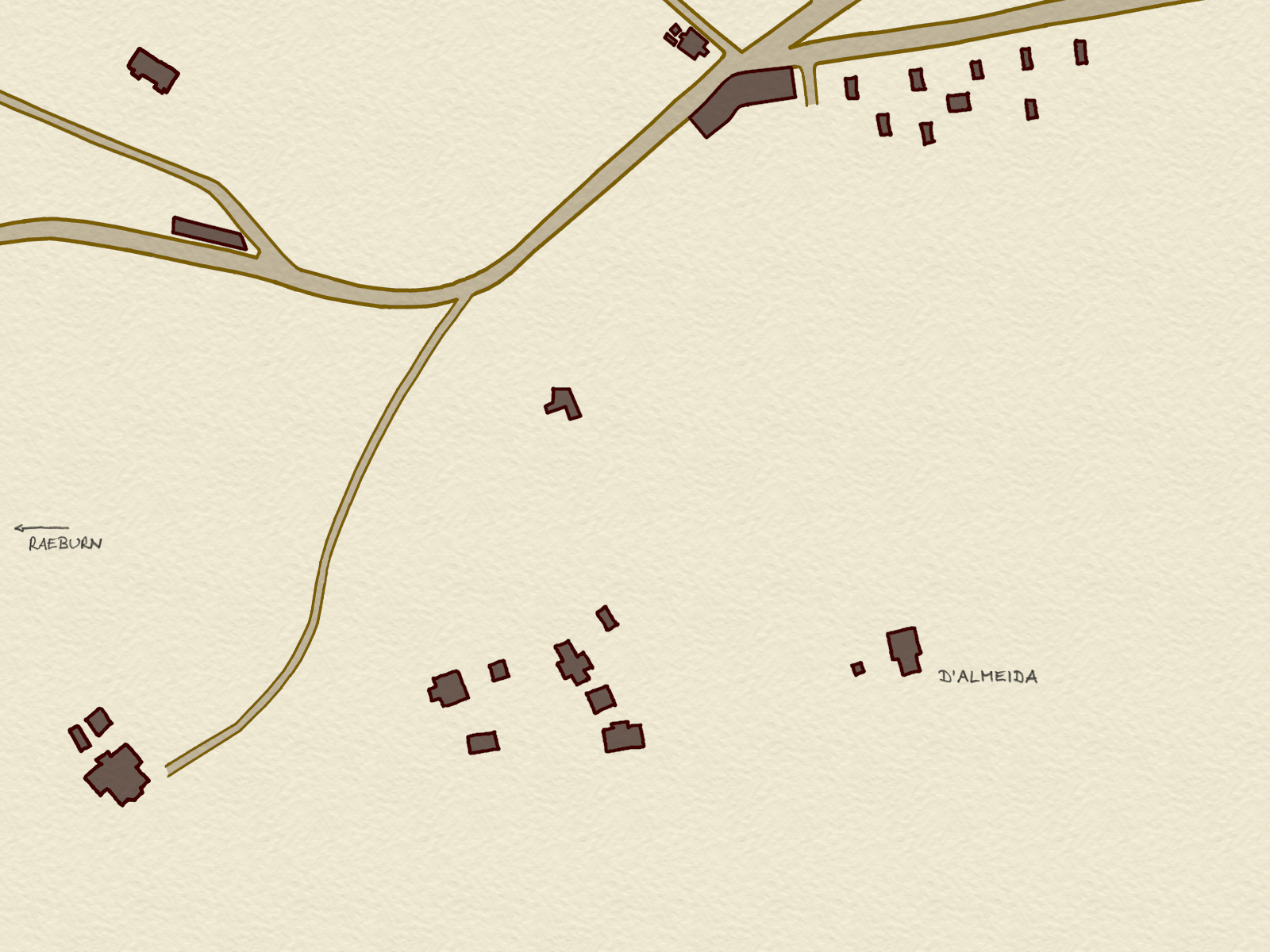
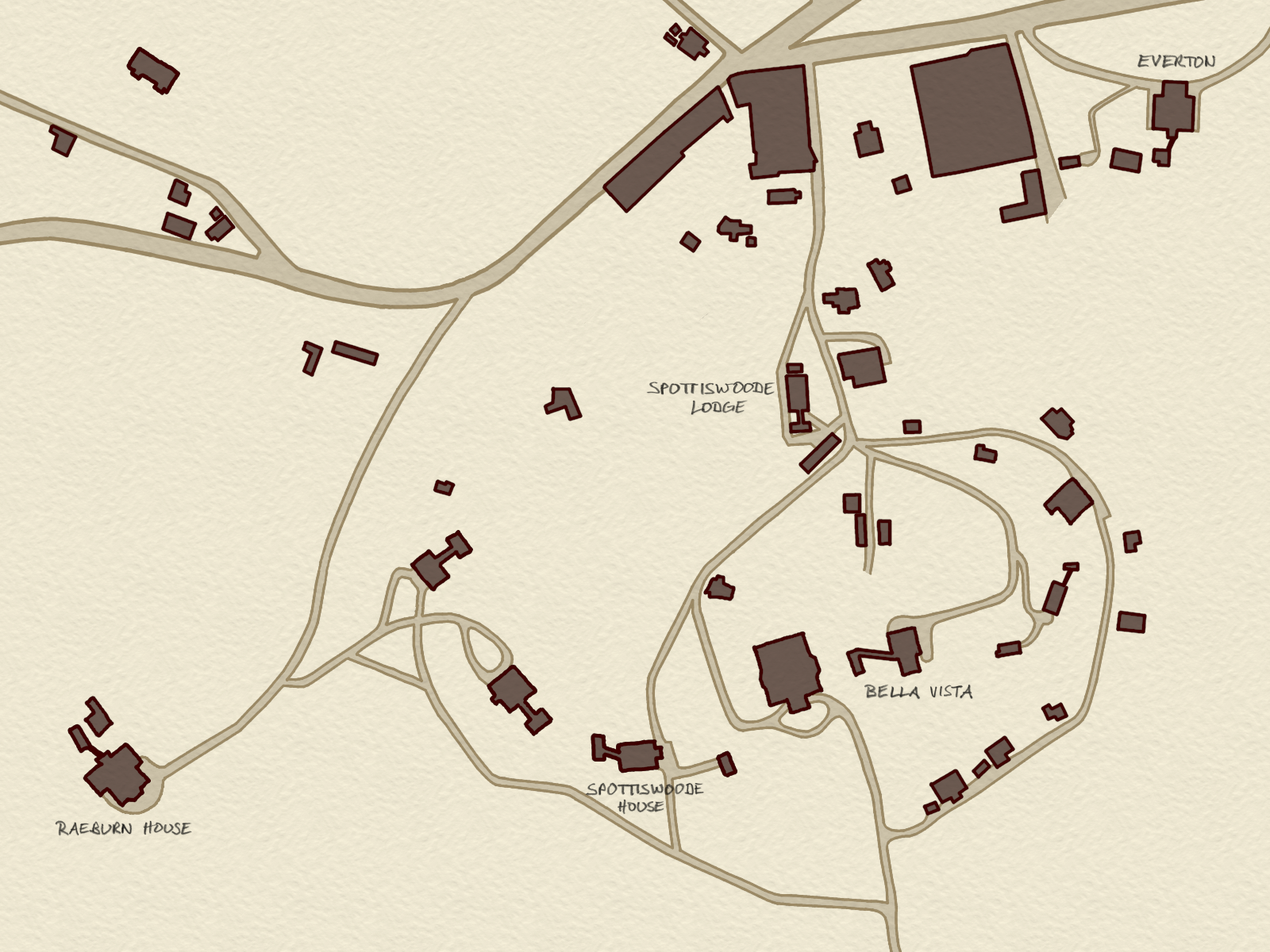
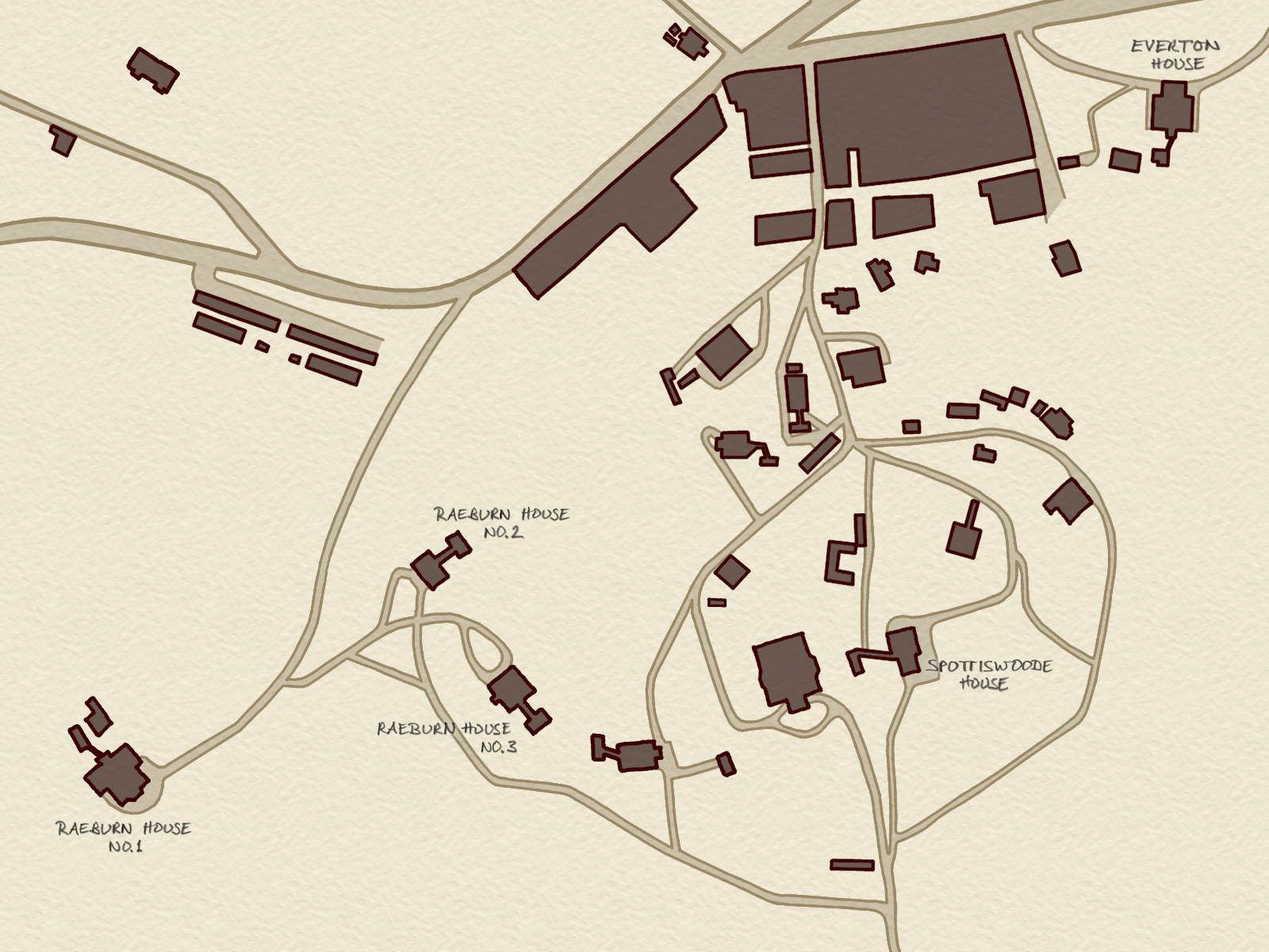
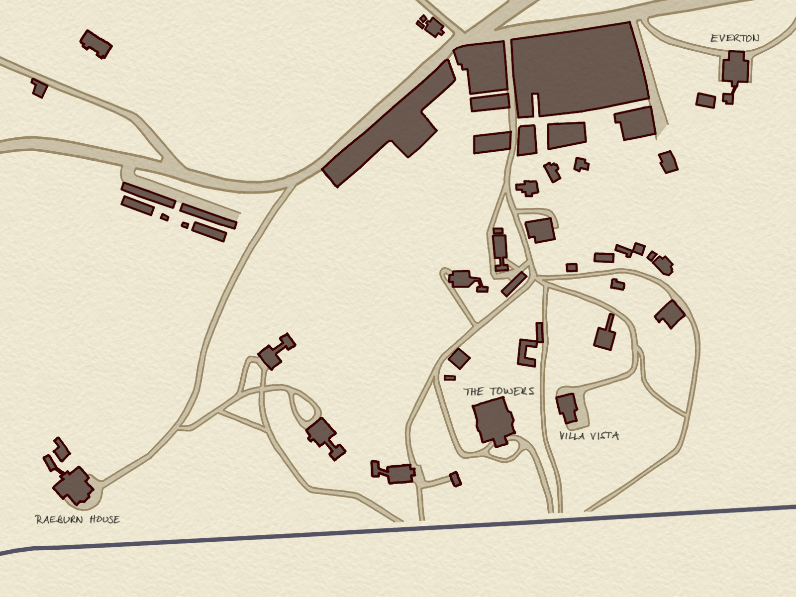
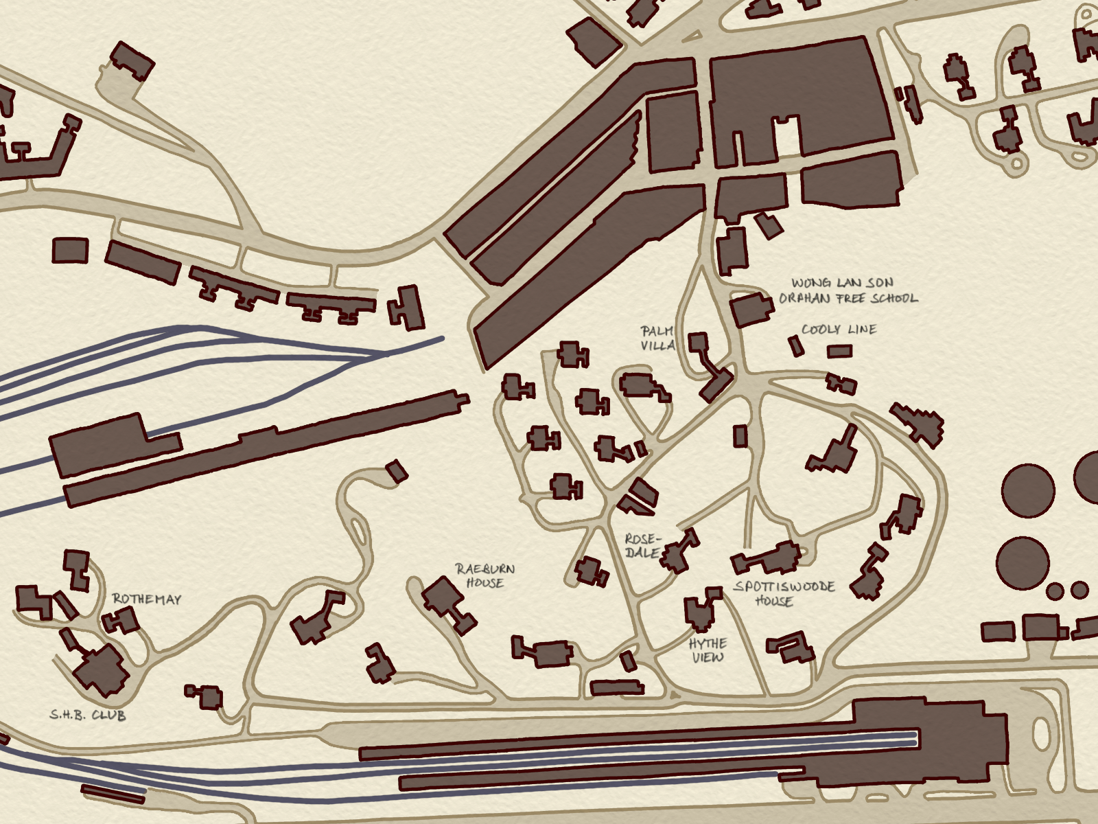
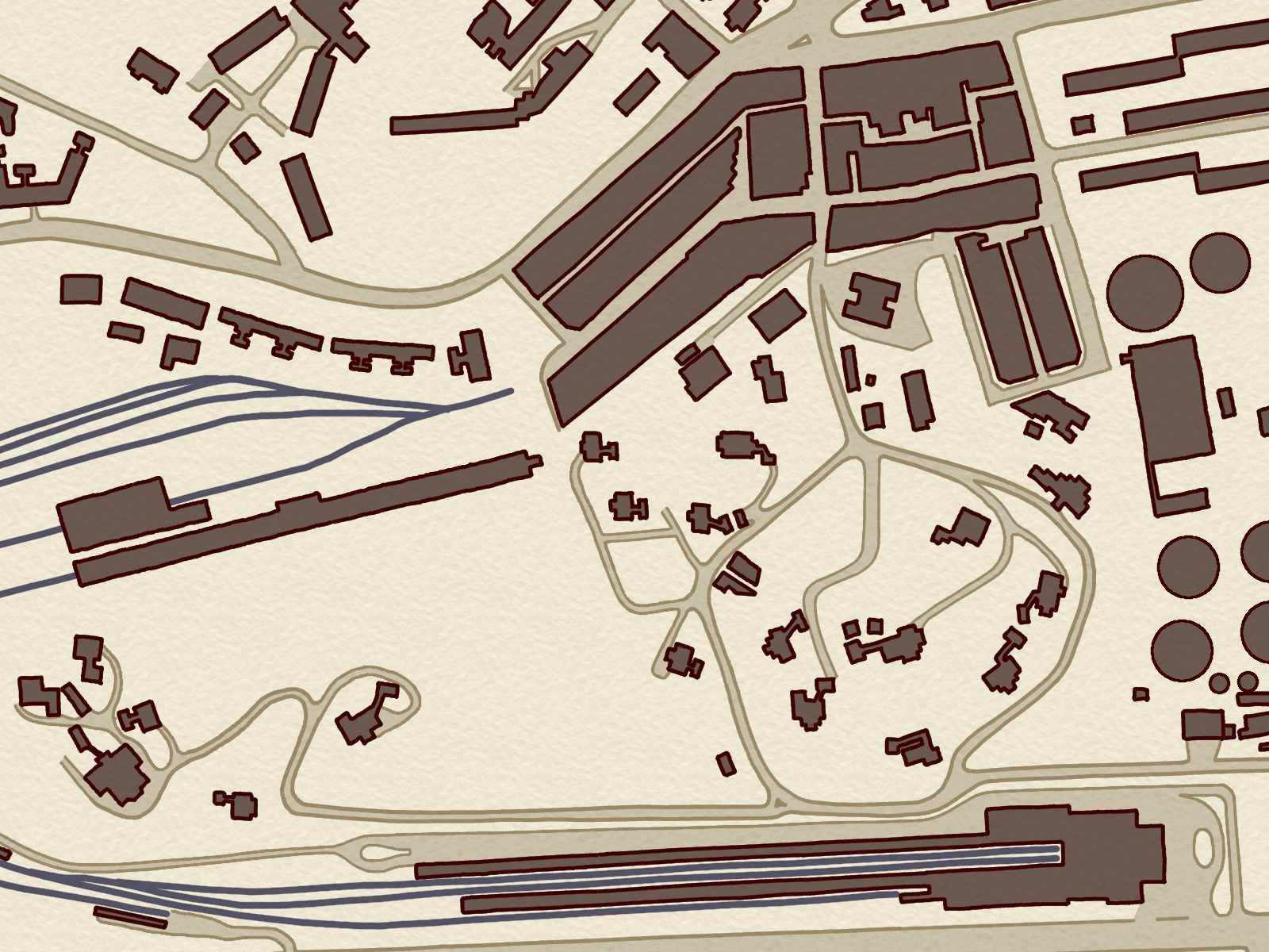
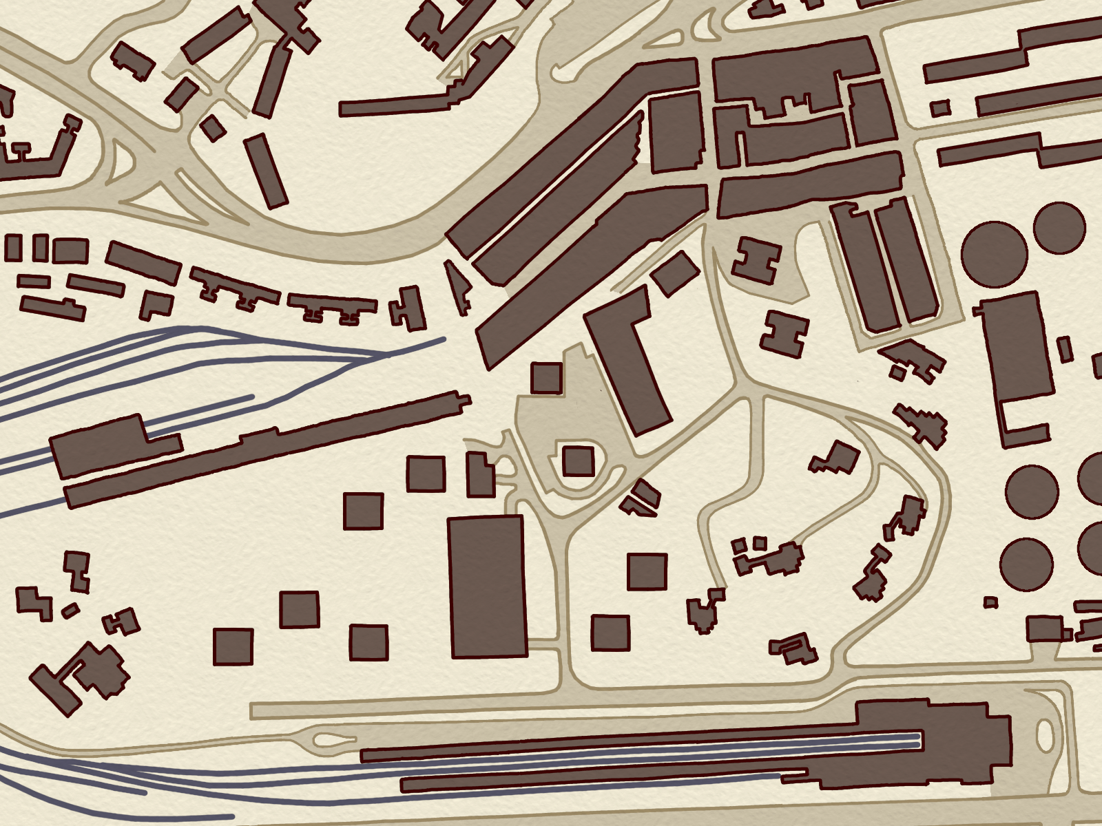
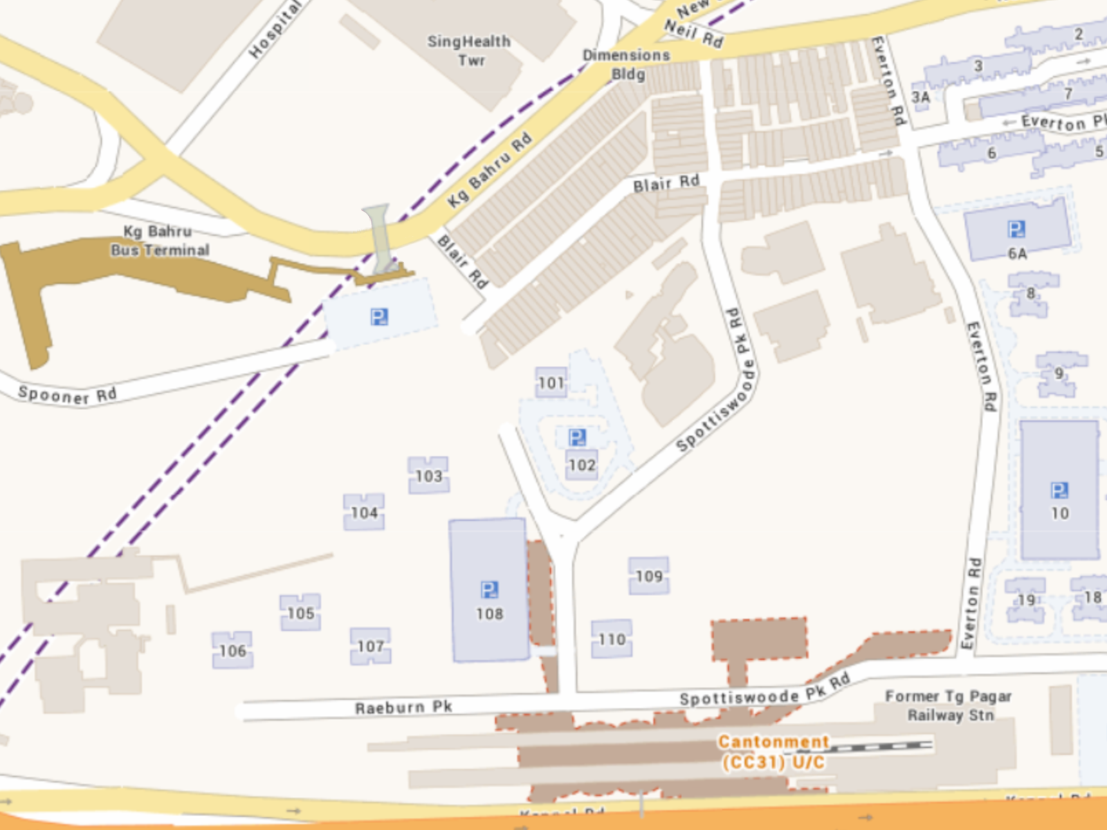
Two centuries of Spottiswoode Park in ten maps
Historical maps are based on the following maps in the National Archives of Singapore. (Some of these required considerable adjustments and interpretations to make the maps align across the decades.)
- 1843: Singapore. New Harbour 1840-1843 and New Harbour 1886
- 1846: Plan of Singapore Town and Adjoining Districts from Actual Survey by John Turnbull Thomson, ...
- 1886: Singapore. New Harbour 1840-1843 and New Harbour 1886
- 1893: Plan of Singapore Town Showing Topographical Detail and Municipal Numbers
- 1905: "D". Tanjong Pagar Dock Arbitration, 1905. Plan of Company's Property
- 1918: Map Showing The Swamps And The Chinese Burial Grounds Near Alexandra Road
- 1943: Map of Singapore Town
- 1970: Singapore. Instrumental Plot - Tanjong Pagar
- 1978: Singapore. City Of Singapore
The 2024 map was captured from OneMap.

